

Why Surveyors Choose Vismo
Surveyors capture valuable data - so why struggle with tools that weren’t built for it? Vismo helps you protect 🛡️, showcase 🏆, and even grow 🌱 your client relationships with an all-in-one platform made for survey-grade data.
Topo, Utils, MBS, Hydro Surveys And More!
- Upload DWG files and let your customers see them - no extra software required.
- Collaborate with customers on drawings and upsell further commercial opportunities.
- Ditch the PDFs - deliver surveys your clients can actually explore.
Point Clouds, Without the Pain
- Upload LAS, LAZ, and E57 files in just a few clicks - no IT help needed.
- Overlay with CAD drawings, plans, or drone imagery to add context.
- Let your clients zoom, pan, and inspect - even if they’ve never used point cloud software before.
Photogrammetry That Actually Gets Used
- Share textured 3D models directly in the browser - no downloads or training required.
- Add hotspots, context photos, and notes to guide your clients through key insights.
- Don't worry about storage, Vismo seamlessly handles huge projects with cost-effective storage.

Data Archive
Store terabytes of point clouds, photos, and drawings securely and cost-effectively, for the long term.
- Organised by project, easy to search.
- Simple to retrieve years later.
- Scalable storage built for large survey data.
Data Delivery & Client Portal
Stop juggling WeTransfer, FTP, or oversized email attachments.
- Deliver large datasets in a branded, self-serve client portal.
- Invite clients back to your portal - building repeat engagement and upsell opportunities.
- Share internally with your teams, without extra cost.
AEC Project Data Hub
Working on longer-term or multi-stakeholder projects?
- Provide a simple, accessible common data environment.
- One source of truth for site data, drawings, models, and photos.
- No specialist installs or complicated training.
- More affordable and easier to adopt than complex CDEs.
Testimonials
Vismo is used by a wide range of surveying companies in the AEC industry, don't just take our word for it. Take their word!

Jake Gaskell
Director @ JWG Survey & Engineering
We used to struggle with data delivery and client engagement. Vismo has streamlined everything, making it easy for us and our clients.

Dave Bredin
Director @ Survey Solutions
Vismo has transformed how we manage our survey data. It’s intuitive, powerful, and saves us £1,000s over other solutions.
Data Visualisation
Bring your data to life - no specialist software or hardware needed.
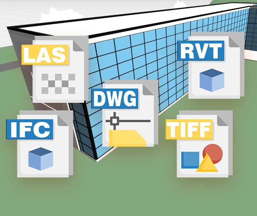
- View point clouds, BIM, CAD files, and photogrammetry in a single environment.
- Share visuals with clients and non-technical stakeholders.
- All in the browser, with no installs or licenses.

Monitoring
No more spreadsheets! Your manual monitoring - automated.
- Automatically ingest monitoring data, calculate current vs. historic conditions, and alert stakeholders.
- Combine with Vismo’s visualisation to create a uniquely powerful monitoring environment.
- Reduce manual processing time, errors, and reporting costs.
Security
- Secure, UK-based hosting.
- Control internal and external access by project.
- Built-in user permissions and audit trails.
- Protect client and stakeholder data with peace of mind.

How Surveyors Use Vismo
Simple, No Learning Curve
- 1
Upload Your Project Data
Store and manage everything from point clouds to plans.
- 2
Invite Clients or Teams
Secure, branded data delivery that builds relationships.
- 3
Visualise & Monitor
Engage stakeholders and automate monitoring outputs.
- 4
Archive with Confidence
Long-term, cost-effective storage and easy retrieval.
Built For Surveyors
Why surveyors trust Vismo with their projects 💼
Half the Cost of Storage
Cut long-term storage costs by up to 50% 💸. Ditch expensive cloud drives without losing access.
One Platform, No Duplicates
Replace OneDrive, SharePoint, Viewpoint for Projects and more - streamline tools, save money.
CAD, BIM & PDF Support
Upload and view Revit, DWG, and other formats directly in the browser. No installs, no viewer software.
Topo, Utils & Point Clouds - Together
Overlay all your survey data 🗺️ in one place - spot clashes and context without switching tools.
Client Access, Unlimited & Forever
Let clients access surveys, drawings, and documents at no extra cost - no licence juggling 🤹, no expiry.
Huge Point Clouds? No Problem
Upload large point cloud ☁️ files and work with them online, hassle-free.
Archive Data for 12+ Years 🗄️
Meet your legal and contract requirements with long-term archiving that doesn’t cost the earth.
All Project Files in One Place
Architects, clients, planners - everyone gets access to what they need, without searching.
Large Models, Rendered Fast ⚡
Photogrammetry and 3D models load directly in the viewer - no third-party software needed.
No More Expiring Links
Stop resending Dropbox links 🔗. Files stay put and stay accessible.
BIM Ready, No Licence Required 🚧
Share BIM data with developers or planners - they don’t need software or licences to view it.
Easy Site Photos
Snap 📸 and upload site context from your phone. Pin it to your drawing in seconds.
Compared to...
Check out how Vismo stacks up against other solutions for surveyors.
| Solution | Archive | Visualisation | Monitoring | Client Delivery |
|---|---|---|---|---|
| Vismo | Cost-Effective | Yes | Yes | Yes ✅ |
| Dropbox / FTP | No | No | No | Basic |
| CDEs | Complex | Yes | No | High Cost |
| Monitoring Software | No | No | Yes | No |
See how Vismo can save you time and money
Join Surveyors who've already levelled up 🪴 using Vismo today.